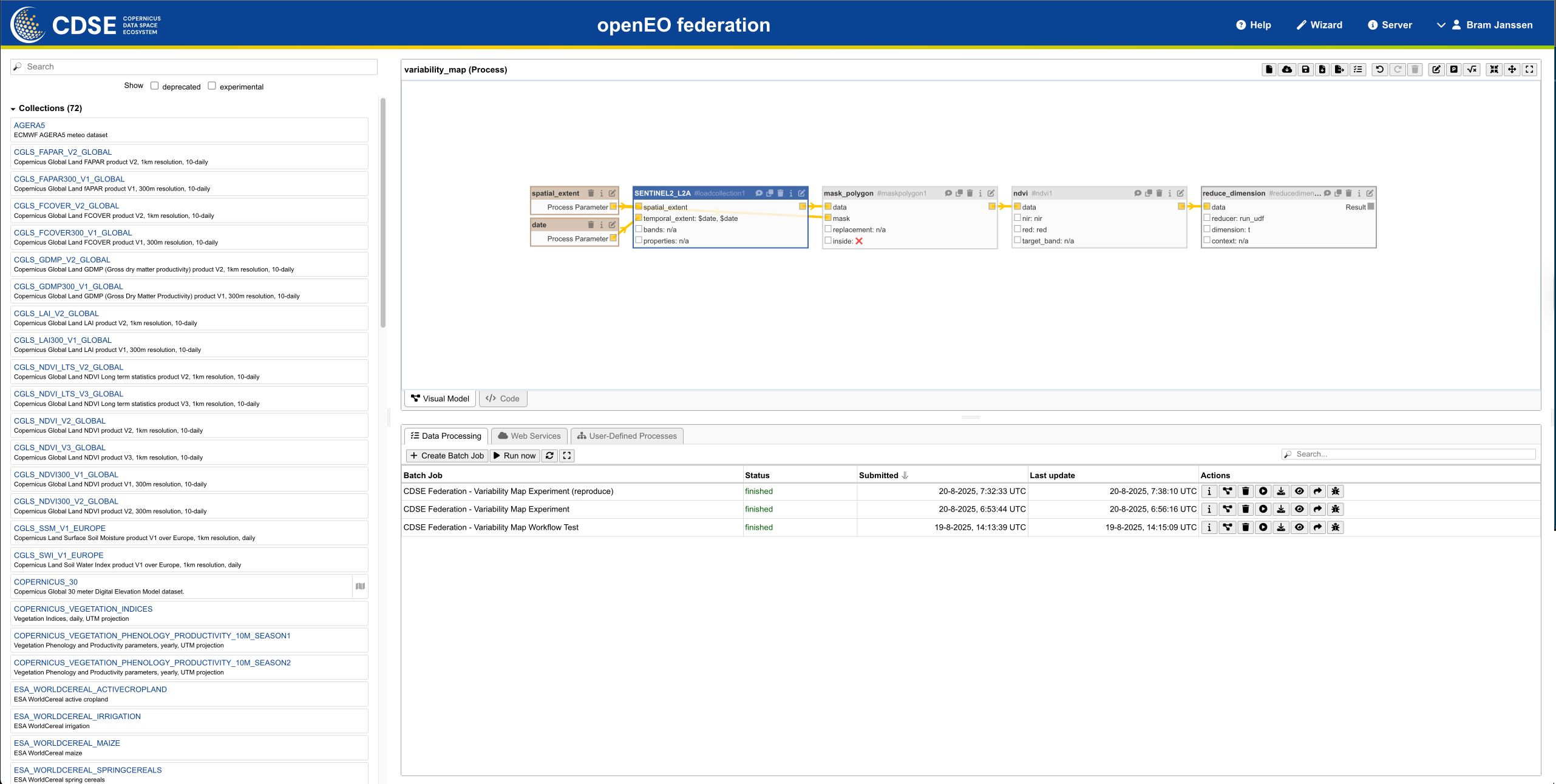
Skip to content

OpenEO & Copernicus Data Space Ecosystem (CDSE)

🛠️ Page Under Development

Content is being actively developed and updated for this page. EarthCODE's documentation is a living document and will be continuously updated with detailed reviews.

Find out more at: https://documentation.dataspace.copernicus.eu/APIs/openEO/openEO.html

openEO: A Standard for Geospatial Data Processing and Analysis

openEO represents an innovative community standard that revolutionizes geospatial data processing and analysis. This groundbreaking framework provides a novel approach to accessing, processing, and analyzing diverse Earth observation data. By adopting openEO, developers, researchers, and data scientists gain access to a unified and interoperable platform, empowering them to harness distributed computing environments and leverage cloud-based resources for addressing complex geospatial challenges.

Key Features of openEO

With openEO’s collaborative nature, users can:

  • Seamlessly share code, workflows, and data processing methods across platforms and tools.
  • Foster collaboration while advancing the accessibility, scalability, and reproducibility of Earth observation data.
  • Utilize intuitive programming libraries that simplify the analysis of diverse Earth observation datasets.
  • Efficiently access and process large-scale data across multiple infrastructures, supporting:
    • Exploratory research
    • Detailed mapping
    • Information extraction from Earth observation data

This streamlined approach enhances development and empowers the utilization of Earth observation data for various applications and services.

Open Source Endpoint

The endpoint for the public service is 100% open source and fully compatible with Pangeo technology.


(TBD)

  • Configuring OpenEO for Your Workflow
  • Connecting to CDSE: https://dataspace.copernicus.eu
  • Integration CDSE with EarthCODE Open Science Catalog
  • Data Access on CDSE

ESA – European Space Agency © 2020-2025